
Mount Taygetos – Profitis Ilias (2,407 m)
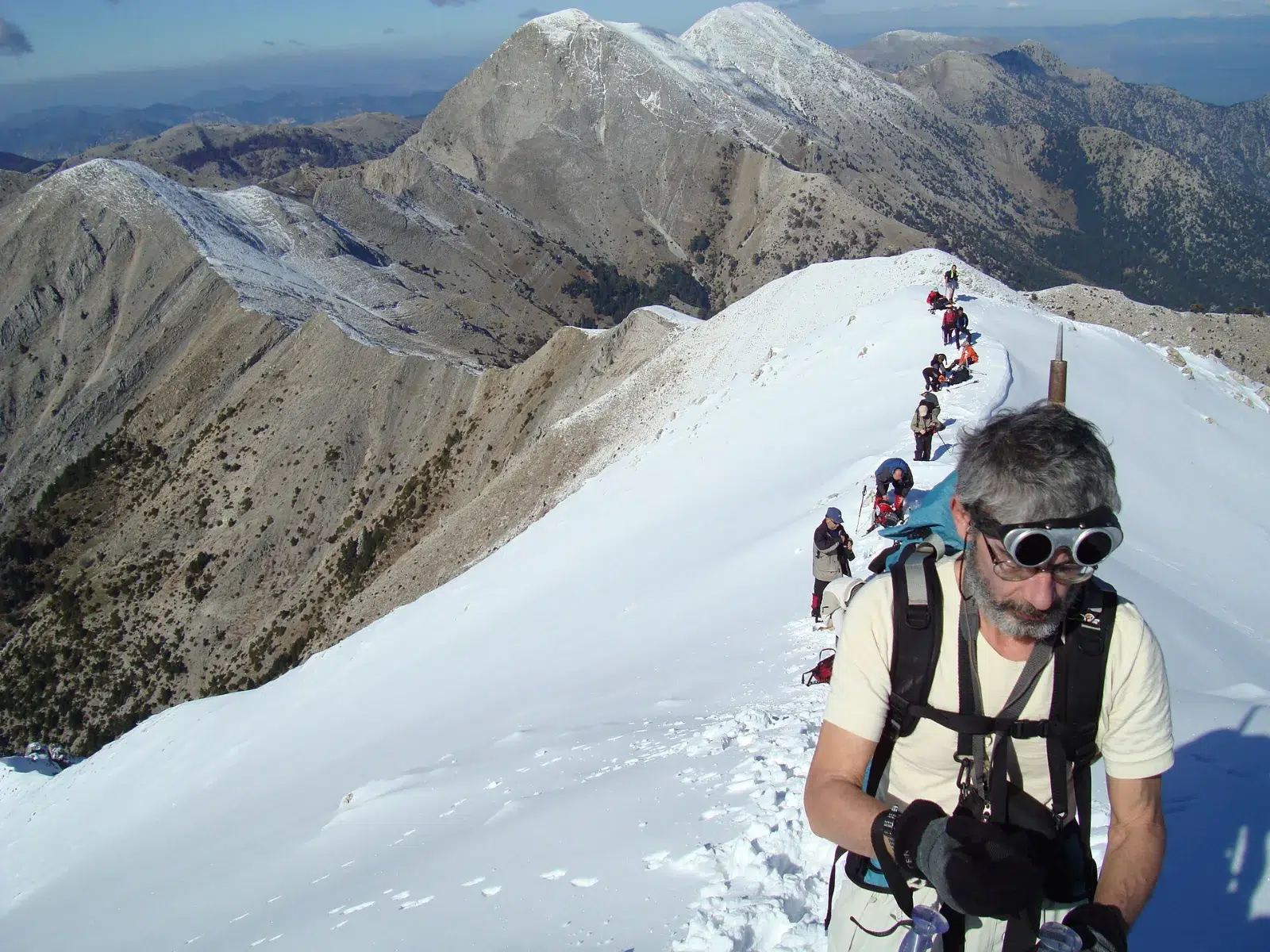
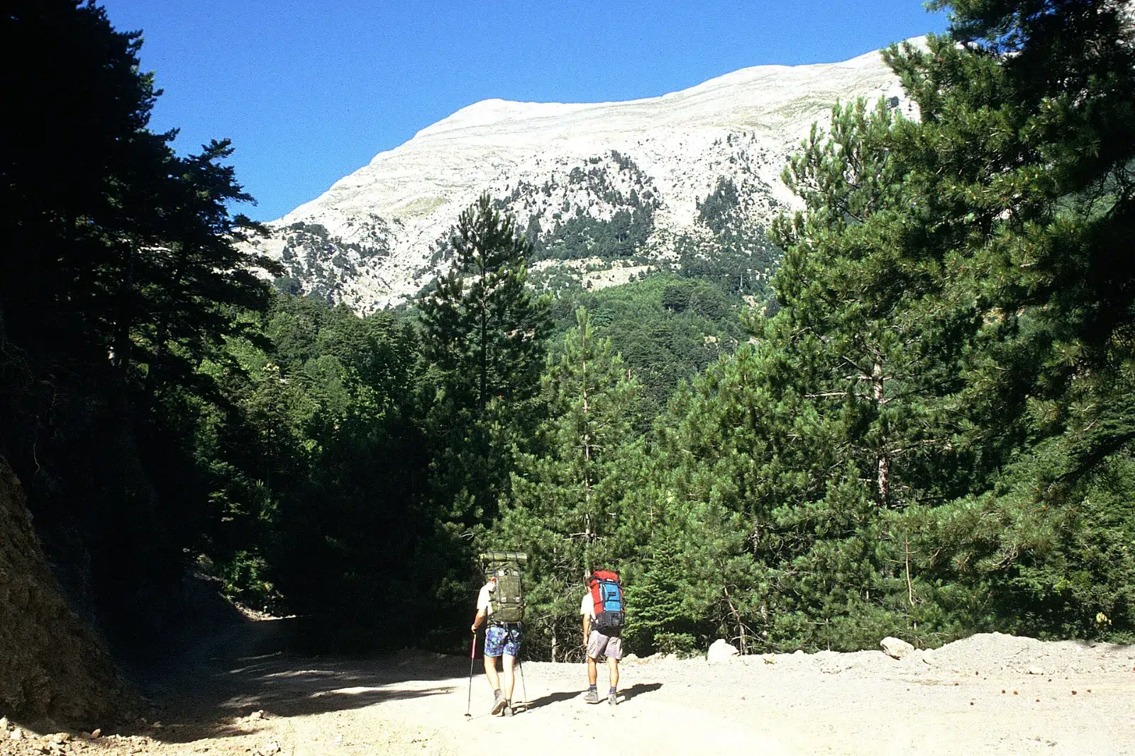
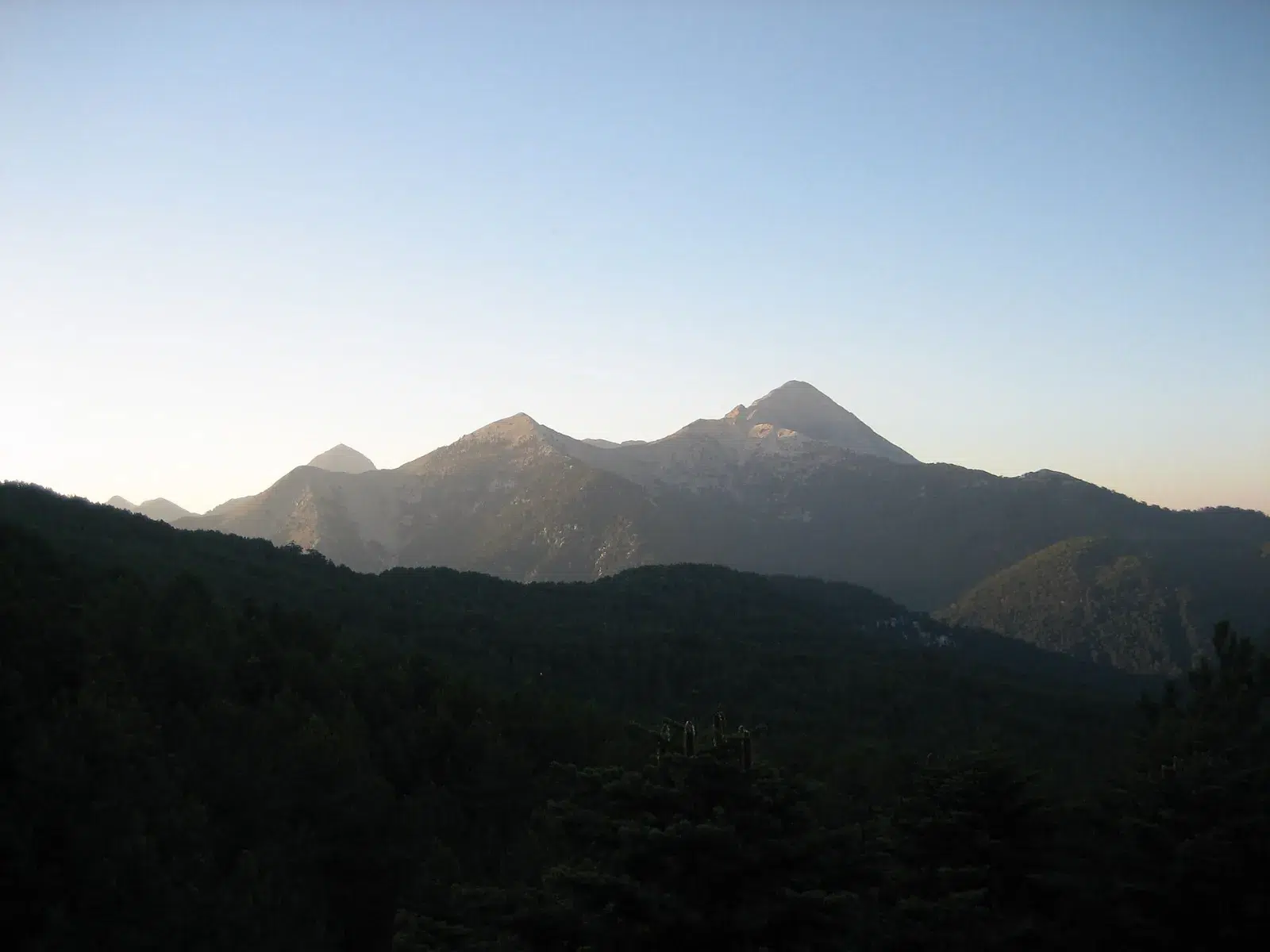
Rising straight above Sparta, Mount Taygetos is the great mountain of the southern Peloponnese, and its highest peak, Profitis Ilias at 2,407 metres, is one of the classic summit hikes of Greece. A well-marked path climbs through black pine forest to a mountain refuge and on to the pyramid-shaped summit, with views over Laconia, Messinia and both gulfs.
At a glance
| Region | Laconia, southern Peloponnese – above Sparta |
| Start | Manganiari spring (980 m), reached by road from Sparta through Trapezanti and Palaiopanagia |
| Summit | Profitis Ilias, 2,407 m – the highest peak of the Peloponnese |
| Ascent | About 1,450–1,500 m of climbing: around 2 hours to the Taygetos refuge (1,550 m) and about 3 more hours to the summit |
| Difficulty | Demanding – not technical, but a long day; the descent is as tiring as the climb |
| Best season | Summer and early autumn. In winter the mountain is covered in snow and only for equipped mountaineers |
| Nearest airport | Kalamata; Sparta is about 3 hours by road from Athens |
The route
Manganiari spring to the refuge. From the spring at 980 metres the path climbs through black pine forest to the Taygetos mountain refuge at 1,550 metres – about 500 metres of ascent. Signs give 1½ hours; most walkers need about 2. The European long-distance path E4 crosses the mountain here.
Refuge to the summit. Above the refuge the forest thins and the path climbs about 850 metres more, the last part on loose scree, to the summit of Profitis Ilias with its small roofless chapel – around 3 hours. You return the same way.
The route is very well waymarked with red signs and poles. It can also be split into two days, with a night at the refuge area and the summit early on the second morning.
Highlights
- The summit of Profitis Ilias, 2,407 m, with the little chapel of the Prophet Elijah.
- Views over Sparta and the Evrotas valley, the Messinian and Laconian gulfs and the Mani.
- Old black pine forest on the lower slopes.
- The famous "pyramid shadow" of the peak at sunrise, traditionally watched on 20 July, the feast day of the Prophet Elijah.
Safety tips
- The springs at Manganiari are the last water on the route – carry at least 3 litres per person.
- Start early, check the weather and turn back if clouds or storms build up.
- Wear proper hiking boots – the final slope is loose scree.
- The refuge is normally closed and opens only by arrangement – do not count on it for shelter.
- In winter, the climb is only for experienced and fully equipped mountaineers.
How we help
- Private transfer from Sparta, Kalamata or Athens to the trailhead, and pick-up after the hike.
- An experienced mountain guide, on request.
- Hotels in Sparta or Mystras, and the rest of your trip in the Peloponnese.
Combine it with
Below Taygetos lie Byzantine Mystras, a UNESCO World Heritage Site, and Sparta – and on the other side, the Mani and Kalamata.
Frequently asked questions
How fit do I need to be?
You should be used to long mountain days: about 1,500 metres up and down, 8–9 hours in total with breaks. The path is not technical.
Can I shorten the hike?
Yes. A rough dirt road of about 8 km leads to the refuge (a 4×4 is advised); from there the summit is about 3 hours away. Or walk only to the refuge and back through the pine forest.
When is the best time?
From June to October. In July the summit is busy around the feast of the Prophet Elijah on 20 July.
Do I need a guide?
The path is well marked, but a local mountain guide is a good idea if you are not experienced in the mountains – we can arrange one on request.
Tell us your dates and your hiking experience, and we will reply within 24 hours.
Header photo: Profitis Ilias, Taygetos – Christophe20, CC BY-SA 3.0, via Wikimedia Commons.
Complete the 2 steps and we will reply to you within 24 hours!