
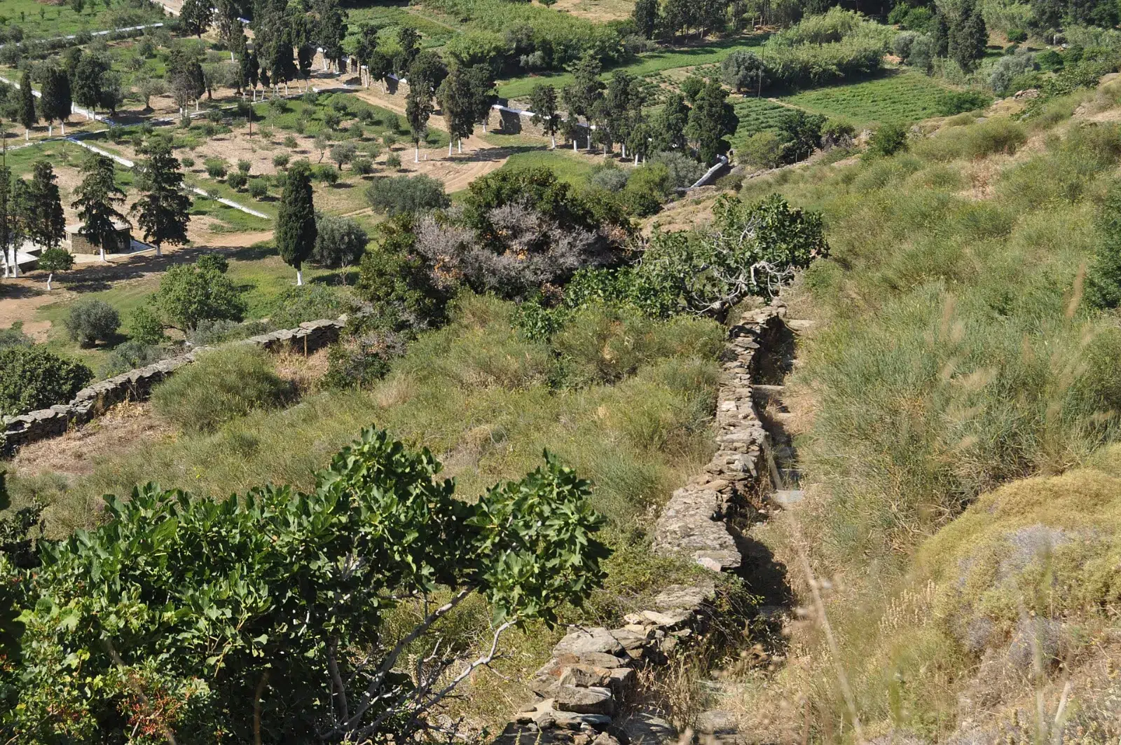
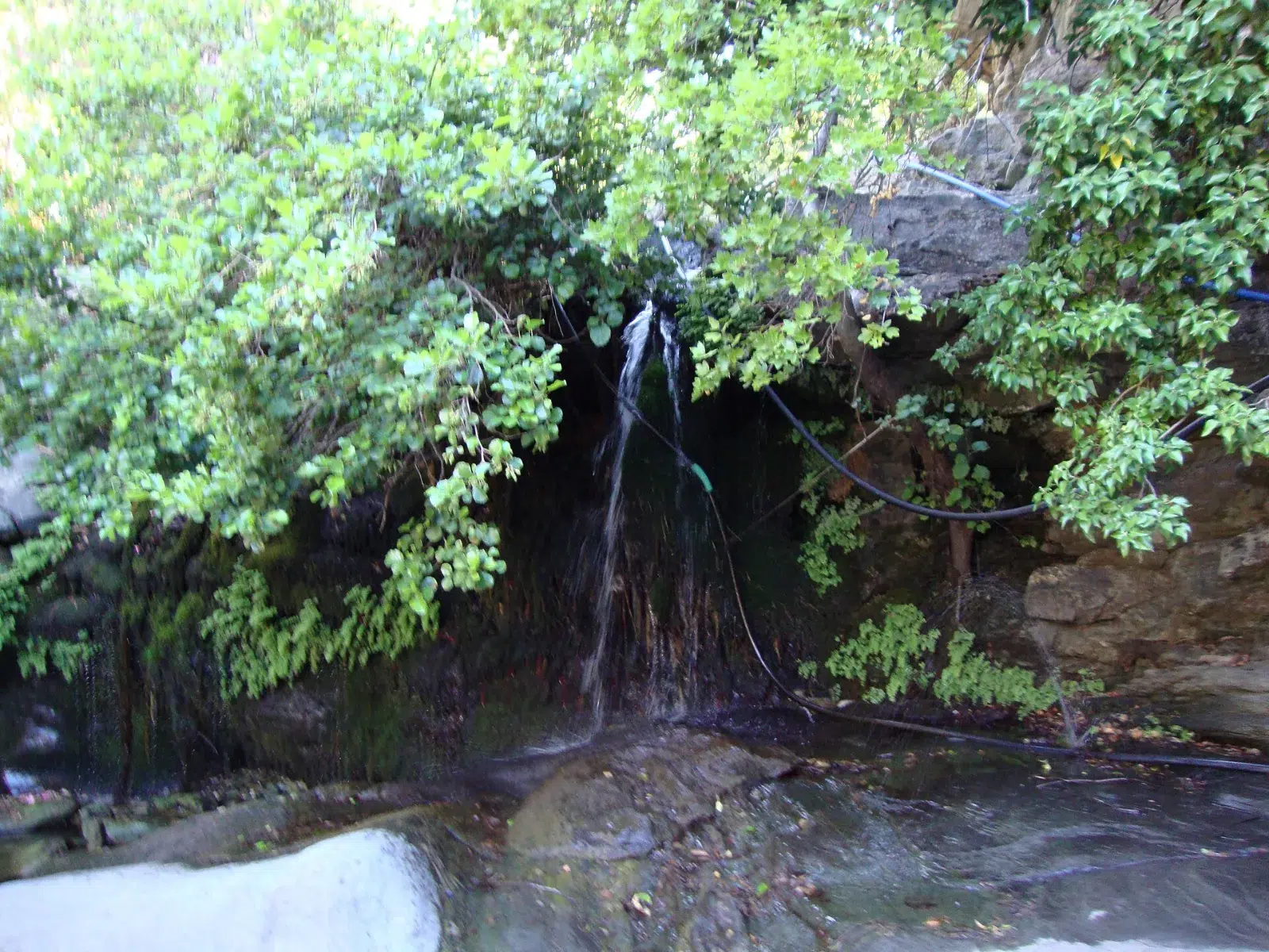
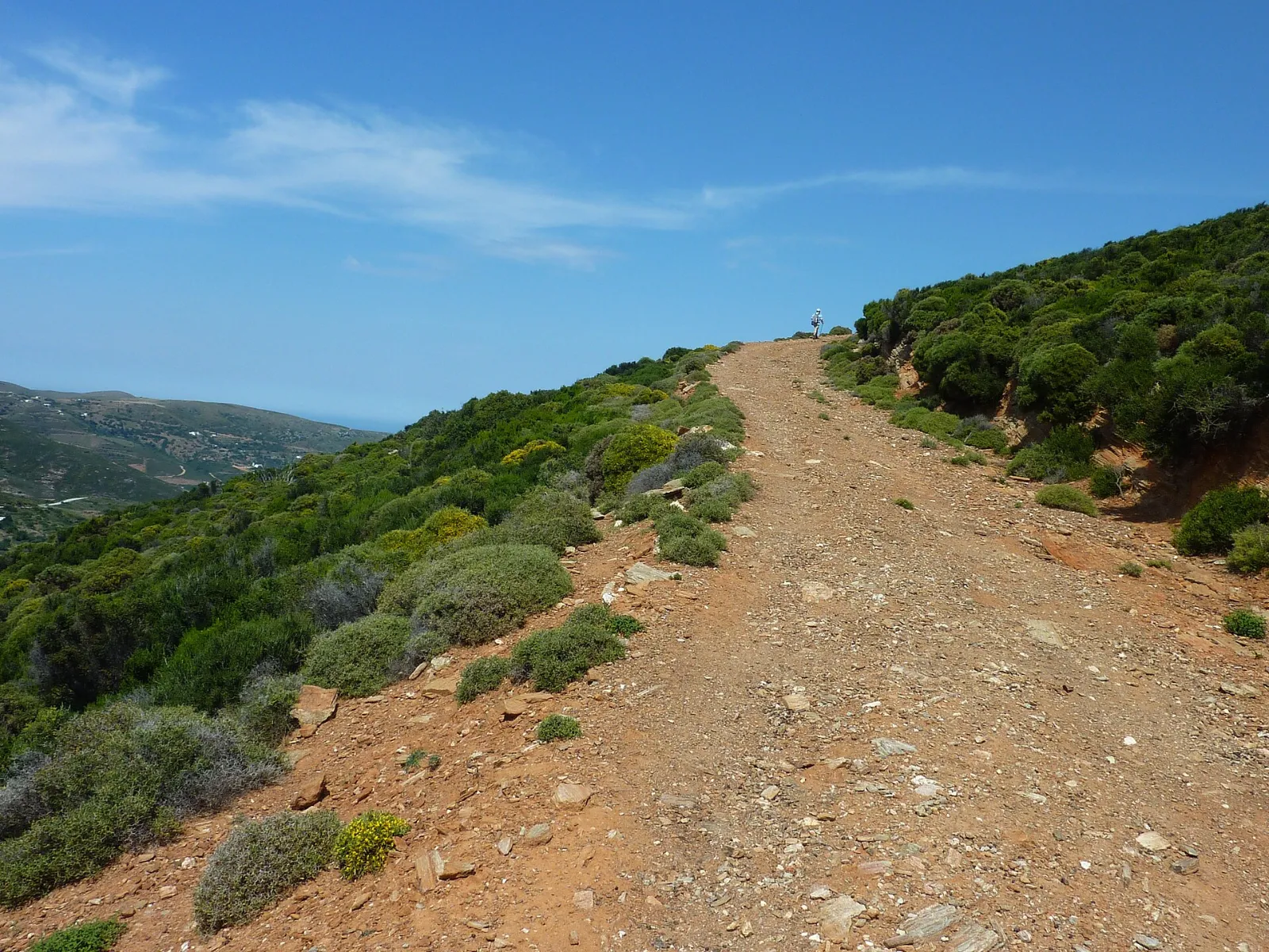
Andros, the northernmost of the Cyclades, is the green island of the Aegean, with springs, streams, terraces and old stone villages. Its network of waymarked footpaths, Andros Routes, is cleared and maintained by volunteers and was the first island network to be certified as a "Leading Quality Trail – Best of Europe".
| Region | Andros, northern Cyclades – Aegean Islands |
| Network | Almost 240 km of waymarked paths across the island |
| Project | Started in 2010 by the non-profit Andros Research Centre, maintained by the Andros Routes volunteer team |
| Certification | Leading Quality Trail – Best of Europe (European Ramblers' Association) |
| Difficulty | Easy coastal walks to long mountain days |
| Best season | Spring and autumn |
| Getting there | Ferry from Rafina port, about 2 hours |
Almost 240 km of waymarked footpaths across the island.
By ferry from Rafina, the port east of Athens airport; the crossing takes about 2 hours. We arrange the transfer to Rafina.
Spring and autumn, when it is green and cool enough for long walks.