
Ursa Trail, Metsovo
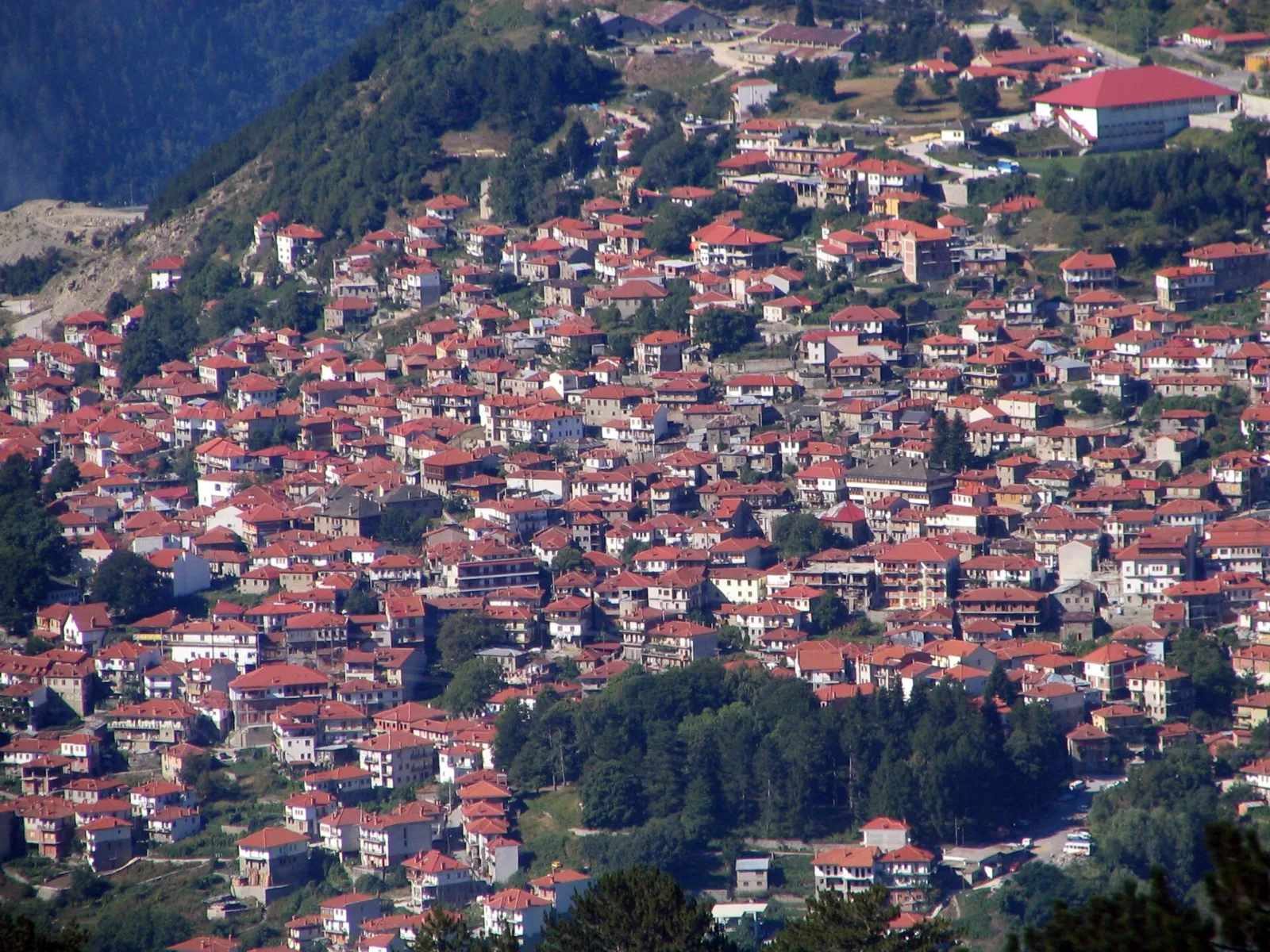
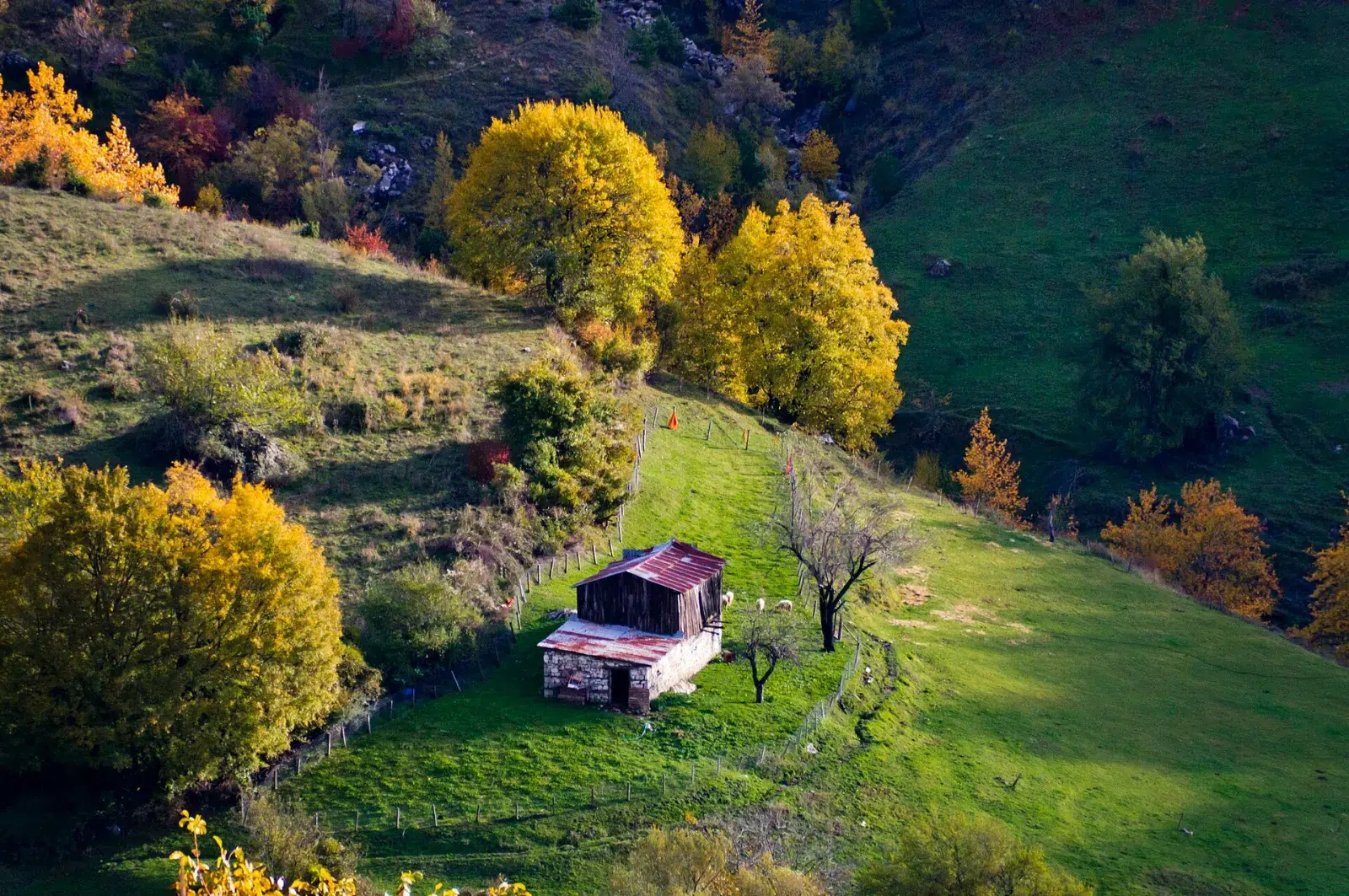
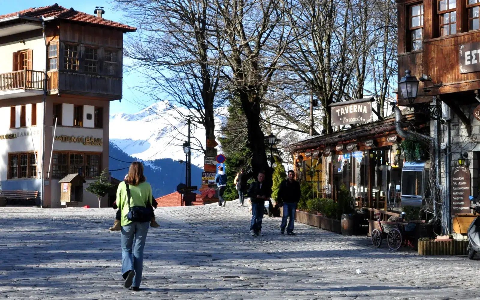
The Ursa Trail is a waymarked mountain route around Metsovo, the stone town of the Pindus mountains in Epirus. Recognised by the European Ramblers' Association, it follows old paths through black pine, beech and oak forest, over high meadows and ridges with wide views of the Pindus – and its name, "the bear's trail", recalls the brown bears that still live in these forests.
At a glance
| Region | Metsovo, Pindus mountains – Epirus, northern Greece |
| Network | About 40 km of waymarked trail, walked in four sections that start and end in Metsovo |
| Sections | Metsovo – Anilio ski centre · Anilio – Metsovo · Metsovo – Politsoara · Politsoara – Metsovo |
| Highest point | About 1,590 m (Kalligomeno Aloni) |
| Difficulty | Easy to moderate: well-graded forest paths, with some steep climbs |
| Best season | Late spring to autumn; in winter the higher parts are under snow |
| Nearest towns | Metsovo; Ioannina about 1 hour, Meteora (Kalambaka) about 1 hour |
The route
Metsovo to Anilio. From the central square of Metsovo the path follows a cobbled lane down to the Agios Georgios park, past the monastery of the Dormition and across the Metsovitikos river, then climbs through meadows and black pine forest to the plateau of the Anilio ski centre.
Metsovo to Politsoara. The second loop heads into the forest on the other side of the town, past the old stone fountain of Politsoara and along a ridge with a wind-measuring mast, Second World War trenches and art installations made by students of the Athens School of Fine Arts.
You can walk one section in a few hours, or combine two sections for a full day in the mountains.
Highlights
- Metsovo itself – stone mansions, wood carving, local cheeses and wine.
- Old-growth forests of black pine, beech and oak.
- High meadows and ridge views over the Pindus.
- Every spring, Metsovo hosts the Ursa Trail running races on the same mountains.
Safety tips
- Weather in the Pindus changes quickly – bring a warm layer and rain jacket even in summer.
- Carry water; springs on the route can be dry late in the season.
- Stay on the marked path and do not disturb wildlife.
How we help
- Private transfer from Ioannina, Meteora, Thessaloniki or Athens to Metsovo, and on to Zagori.
- Drop-off at the start and pick-up at the end of your walk.
- Hotels in Metsovo and a local guide on request.
Combine it with
Metsovo sits on the road between Meteora and Zagori – perfect for a mountain trip through Epirus.
Frequently asked questions
How long is the Ursa Trail?
About 40 km in total, split into four sections that start and end in Metsovo, so you can walk just one section in half a day.
Is the Ursa Trail a race?
It is a waymarked hiking trail. Each spring Metsovo also hosts the Ursa Trail running races, with distances from a vertical kilometre to 100 km.
How do I get to Metsovo?
Metsovo is about 1 hour from Ioannina and from Meteora. We arrange private transfers from Athens, Thessaloniki, Ioannina or Kalambaka.
Tell us your dates and how many you are, and we will reply within 24 hours with your plan and private transfers.